News Story
UMD Partners With NOAA to Investigate UAS in Satellite Data Validation
The GOES-16 satellite made national news earlier this month with its striking images of Hurricane Eugene in the Pacific Ocean. It’s the first major hurricane captured by the National Oceanic and Atmospheric Administration (NOAA) satellite since it launched in November 2016.
The new sensors aboard GOES-16, which is still in testing mode until December, will replace much of the current technology used to monitor hurricanes and other weather patterns from space.
But NOAA hopes to advance more than just sensors with the GOES-16 program. The administration has also partnered with the University of Maryland Unmanned Aircraft Systems (UAS) Test Site to determine if drones can be used to validate satellite data more efficiently.
NOAA routinely measures temperatures and light wavelengths from earth to compare with results sent down from space. The check helps ensure weather forecasts aren’t lead astray by inaccurate data. But the process is labor intensive and difficult to conduct over large regions, which limits how directly the two data sets can be compared.
Drones offer the potential to collect more data over a wider region in less time and at lower cost. And it’s this potential that NOAA and the UAS Test Site are investigating.
“The team at NOAA approached us in 2016 for help identifying the right vehicle and sensors and building a test procedure,” said Matt Scassero, director of the UAS Test Site. “We jumped at the chance to bring our expertise in system integration and testing to better facilitate the effective use of UAS in data validation procedures.”
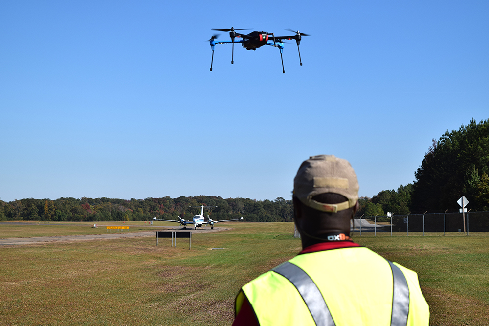
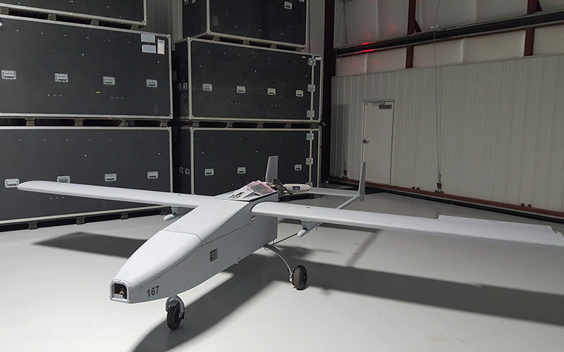
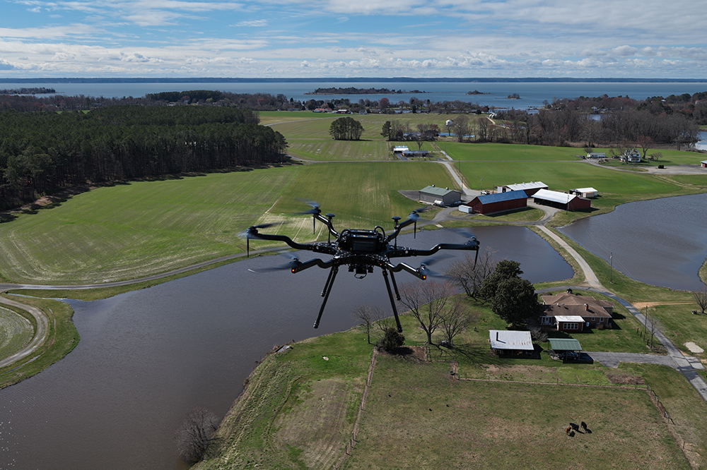
A series of tests conducted in January confirmed that the Phoenix ACE XL and Talon 120E could orbit a precise point and collect sensor data at exact altitudes, two criteria vital to any validation effort. The team also successfully tested whether the systems could hover stably and maneuver in a straight line while maintaining altitude.
Test site pilot Ryan Henderson and engineer Jacob Moschler teamed up with NOAA researchers again in April to investigate effective flight paths and directly compare the quality of data collected with information gathered on foot in Arizona’s Red Lake.
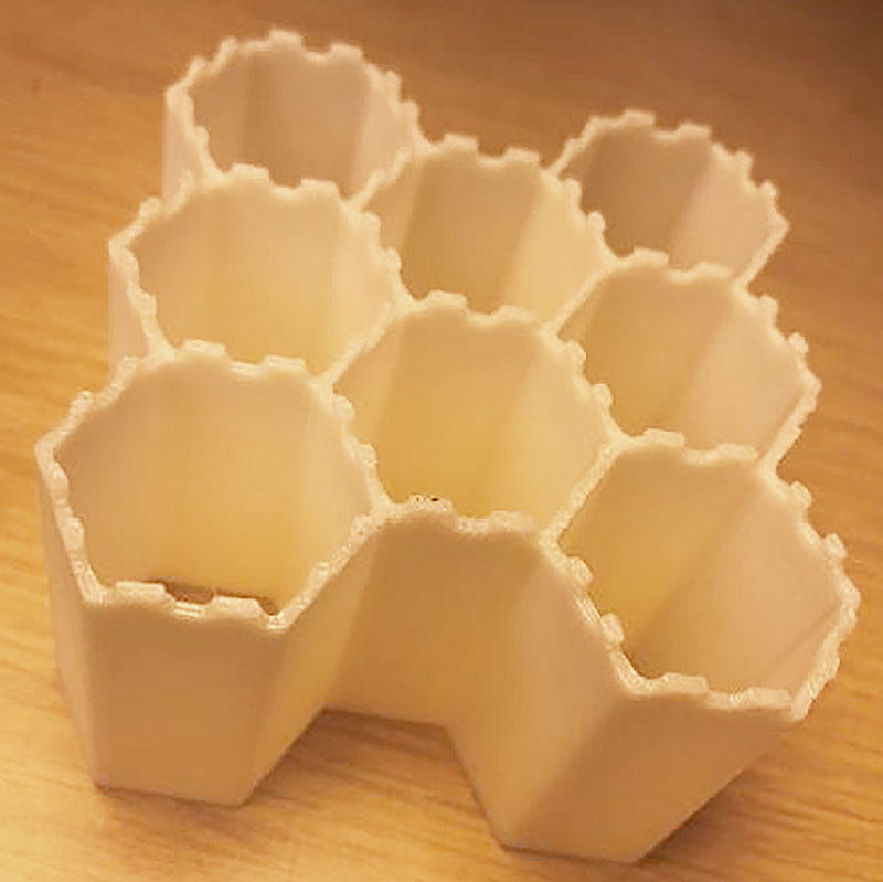
The tests revealed the need for an upgraded enclosure to protect sensitive sensors and dampen vibrations more effectively. Flight testing with an upgrade designed by the UAS Test Site is expected to begin this fall.
Published July 21, 2017
